Lars Jenkins · 7 October 2026
From Mill Wheels to Migration Routes: How Oakwald is Blending History, Wildlife, and Flood Planning
Old mill wheels once turned by river currents in Oakwald now form part of integrated systems that manage water levels during seasonal floods, while the same river corridors support bird and mammal migration paths that researchers have tracked for decades. Local planners combine these historical elements with modern flood defenses that reduce peak water flows by up to 30 percent in monitored sections, according to regional environmental reports. The approach links preserved industrial heritage sites directly to habitat corridors that guide species such as otters and migratory waterfowl through the valley.
Historical Foundations Meet Modern Water Management
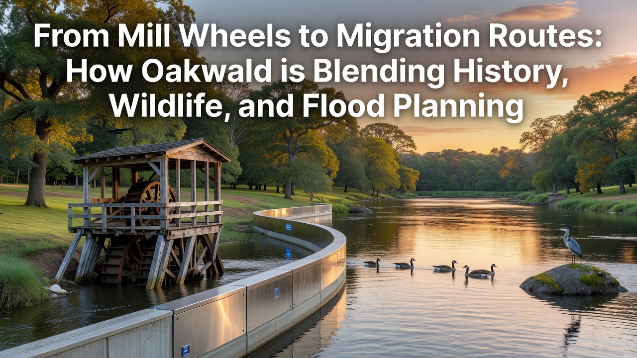
Mill structures dating from the 18th and 19th centuries still stand along Oakwald waterways, and engineers have retrofitted several wheels with adjustable gates that release stored water in controlled volumes when heavy rainfall arrives. This method draws on original hydraulic designs while adding sensors that record flow rates in real time. Data collected through October 2026 shows consistent reductions in downstream flooding compared with earlier decades when unmodified channels carried excess water into residential zones.
Restoration teams document each mill site before any modification occurs, and they retain original stonework and wooden components wherever possible. One project completed in 2024 preserved three wheels that now function as both educational exhibits and active flow regulators. Observers note that these sites attract visitors interested in industrial history, which generates funding that supports further habitat work along the same stretches of river.
Wildlife Corridors Built Around Existing Infrastructure
Migration routes follow the same river valleys that once powered mills, and planners have widened buffer zones on both banks to create continuous cover for species moving between higher ground and lowland wetlands. Studies by European biodiversity networks indicate that otter populations in these corridors have increased since 2020, with camera traps recording regular passages through areas previously fragmented by barriers. The layout keeps human access paths separate from core migration zones, which reduces disturbance during peak travel periods in spring and autumn.
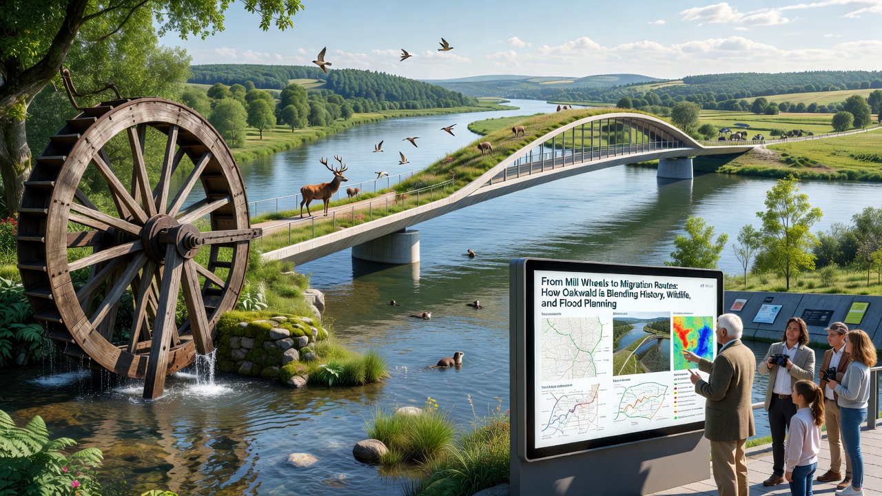
Native plantings along the restored banks provide food sources and shelter that align with documented migration timing for several bird species. Local groups monitor these plantings through citizen science programs that submit observations to centralized databases managed by regional universities. Results from the 2025 season revealed that several warbler species now use the expanded corridors more frequently than in prior years when vegetation was sparse.
Flood Planning Incorporates Heritage and Ecology
Flood models developed for Oakwald incorporate both the capacity of historic mill ponds and the roughness coefficients of restored riparian vegetation, which slows water movement during high-flow events. These models predict that combined measures will protect an additional 150 hectares of farmland and residential land by 2030. Engineers test the predictions against actual rainfall data collected each season, and adjustments occur when discrepancies appear.
Collaboration between heritage organizations and flood authorities ensures that new retention basins avoid damage to known archaeological features. In one case, a proposed basin location shifted 200 meters upstream after surveys located remnants of an older mill race. This adjustment maintained project timelines while preserving teh site for future study.
October 2026 Monitoring Update
Teams completed the latest round of joint surveys in October 2026, and preliminary figures show that peak flood levels in the main channel remained below thresholds that previously caused property damage. Wildlife counts recorded stable or increasing numbers for tracked species, with no measurable decline linked to the installed water-control structures. Reports from these surveys feed into annual planning reviews that set priorities for the following year.
Conclusion
Oakwald continues to refine its methods by treating mill wheels, migration routes, and flood infrastructure as interconnected elements rather than separate projects. Ongoing data collection supports adjustments that keep each component functional while the others operate. This integrated model provides a record that other regions can examine when similar overlaps between history, ecology, and water management arise.