Bianca Braun · 4 November 2026
Harvest Records and Wildlife Migration Paths Inform Novel Flood Protection Approaches in Oakwald
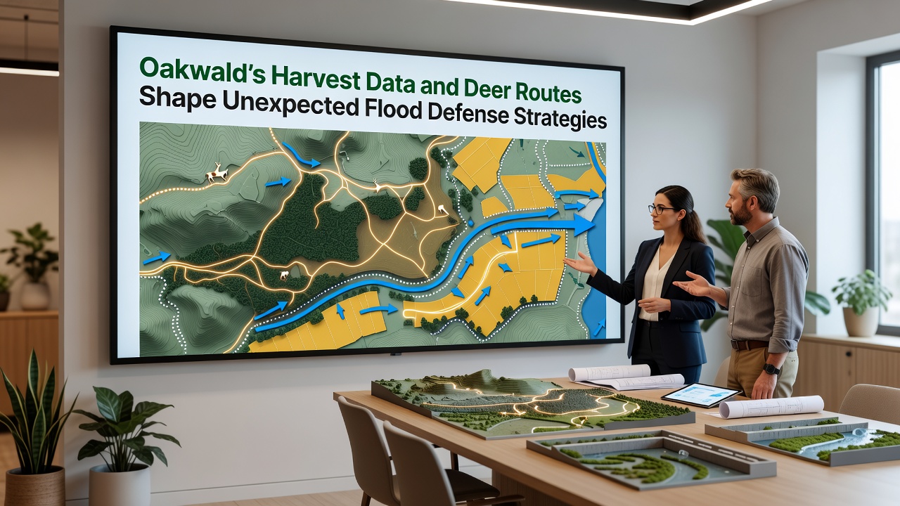
Local authorities in Oakwald have integrated agricultural yield statistics with documented deer movement corridors to refine flood defense planning, and this combination has produced several non-traditional mitigation zones since early mapping efforts began. Researchers compiled harvest data spanning multiple growing seasons to identify soil compaction levels and drainage variations across farmlands, while GPS collar records from regional wildlife studies supplied precise routes that deer follow during seasonal shifts.
These datasets converge at specific low-lying areas where deer trails coincide with historically high-yield crop fields, and the overlap points to locations where water naturally disperses during heavy rainfall events. Planners then adjusted barrier placements accordingly rather than relying solely on conventional levee alignments along main river channels.
Data Integration Methods
Harvest figures collected through municipal agricultural offices reveal patterns in crop residue management that affect surface water absorption rates, and when cross-referenced with deer route heatmaps the resulting models highlight micro-topography features often missed by standard topographic surveys. In one documented case from the northern valley sector, a cluster of high deer traffic aligned with fields showing lower harvest density due to periodic saturation, prompting the installation of permeable retention basins instead of solid embankments.
Additional layers from satellite imagery and on-ground soil sampling further validated these correlations, while community-submitted observations of deer crossings during autumn months supplied supplementary temporal detail. November 2026 marks the scheduled release of an updated regional dataset that will incorporate the latest harvest cycles alongside expanded collar tracking from the previous winter migration.
Practical Outcomes in Flood Modeling
Engineers applied the combined information to simulate water flow under projected climate scenarios, and the simulations indicated reduced peak water levels in residential zones when deer corridor-adjacent fields were designated as sacrificial flood zones. Construction crews completed two such experimental basins last spring, and monitoring stations installed at those sites have already recorded measurable decreases in downstream pressure during moderate rain events.
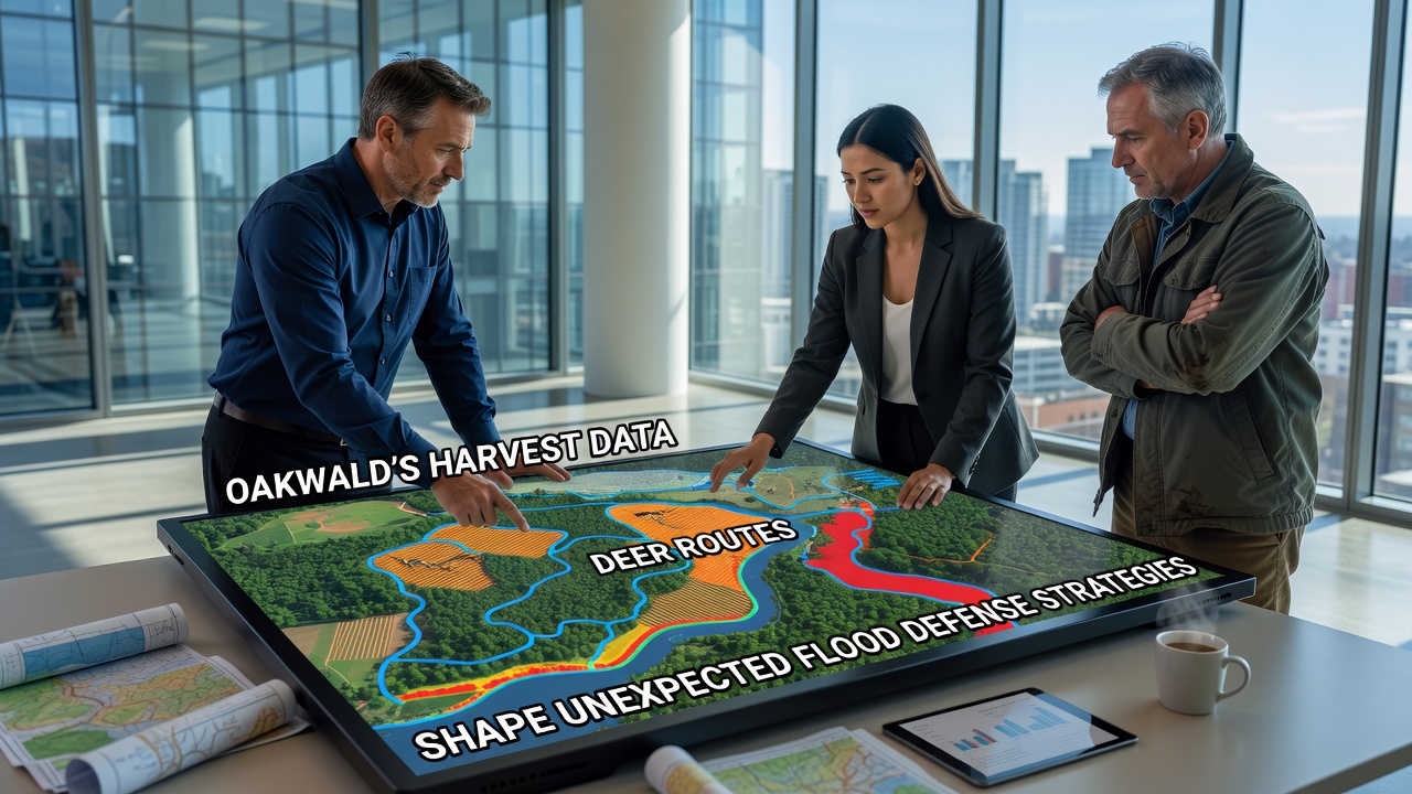
Local mapping teams continue to refine boundary definitions for these zones using both quantitative harvest metrics and qualitative notes from long-term residents who track wildlife activity year-round. The approach avoids extensive earth-moving in sensitive habitats while still meeting regulatory thresholds set by environmental agencies.
Broader Regional Context
Similar data-fusion techniques appear in reports from other European watersheds, where agricultural statistics inform land-use adjustments and wildlife corridors guide habitat connectivity measures, according to European Environment Agency publications. Oakwald's application stands out because it explicitly links the two inputs to flood infrastructure decisions rather than treating them as separate conservation or farming concerns.
Canadian federal water resources assessments have likewise examined wildlife movement data for erosion control projects in prairie regions, and those findings support the principle that animal pathways often trace natural hydraulic gradients more accurately than some engineered models initially predict. Oakwald planners referenced such international examples when calibrating their own parameters for the upcoming November 2026 update.
Implementation Timeline and Monitoring
Initial pilot zones entered operational status in late 2025, and quarterly reviews track both flood metrics and deer population stability within the affected corridors. Harvest data collection continues through established farmer cooperatives, while deer route verification relies on a combination of camera traps and volunteer field logs submitted to the regional planning office.
Adjustments to zoning overlays occur annually based on accumulated evidence, and preliminary figures from the first full monitoring year show alignment between predicted and observed water dispersion rates at the test sites. Further expansion will depend on the comprehensive dataset scheduled for release in November 2026.
Conclusion
Oakwald continues to refine its flood defense framework by treating harvest statistics and deer migration records as complementary inputs rather than isolated datasets. The resulting strategies emphasize targeted, lower-impact interventions that respect existing land use patterns while addressing hydraulic risks. Ongoing data collection through 2026 will determine whether these methods scale to additional districts or require recalibration against new environmental variables.